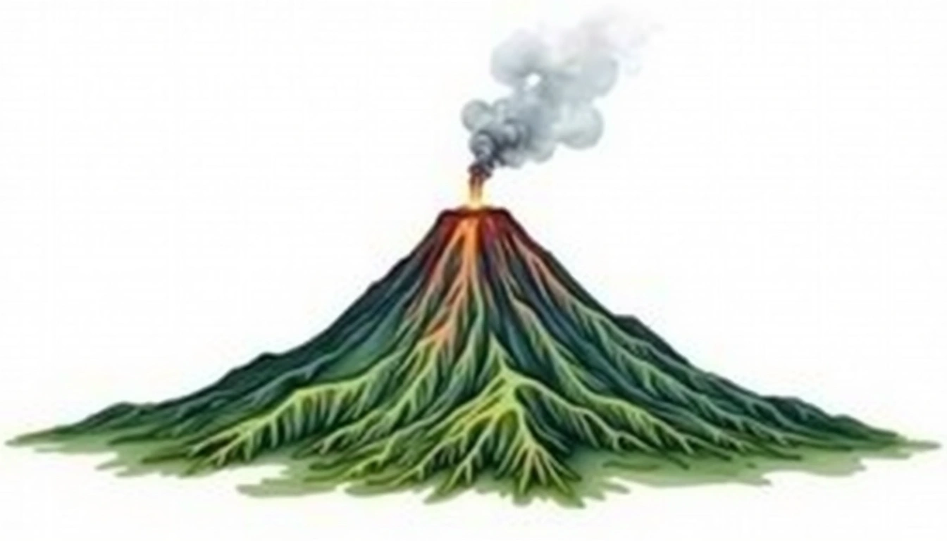
Mount Sinabung (2460m)
Embed This Widget
Add the script tag and a data attribute to embed this widget.
Embed via iframe for maximum compatibility.
<iframe src="https://mountainfyi.com/iframe/entity//" width="420" height="400" frameborder="0" style="border:0;border-radius:10px;max-width:100%" loading="lazy"></iframe>Paste this URL in WordPress, Medium, or any oEmbed-compatible platform.
https://mountainfyi.com/entity//Add a dynamic SVG badge to your README or docs.
[](https://mountainfyi.com/entity//)Use the native HTML custom element.
Mount Sinabung terletak pada ketinggian 2460 meter di Indonesia, Asia. Puncak ini diklasifikasikan sebagai Stratovolcano.
Perbandingan Ketinggian
Tentang gunung ini
Mount Sinabung (2460m) is a stratovolcano in Indonesia. Grade 2/5: moderate trek requiring good fitness. A Southeast Asian volcano set amid tropical landscapes, with active geological history and challenging approach terrain.
Rute
Kondisi Musiman
Analisis topografi
Peta kontur

The topographic contour map of Mount Sinabung (2460m) shows near-circular, closely spaced contours indicating steep conical slopes. Contour lines are drawn at 50m intervals, with index contours (thicker lines) every 250m. The hypsometric color scale ranges from green (lower elevations) through yellow and orange to white (highest elevations near the 2,460m summit).
Profil ketinggian

The east–west elevation profile of Mount Sinabung (2460m) shows the terrain cross-section through the summit at 2,460m. The color gradient transitions from green (valley floor) to white (summit zone), with the red summit marker indicating the peak.