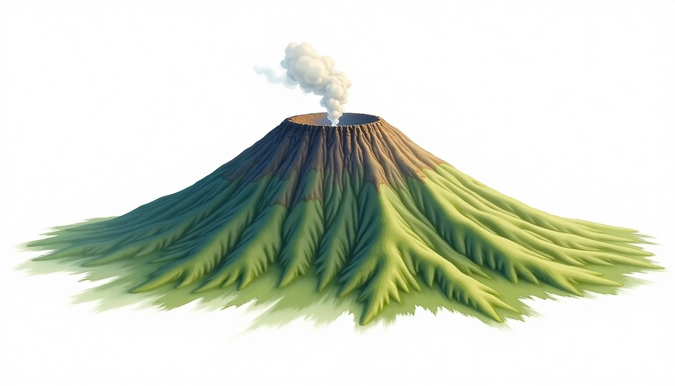
Mount Nyamuragira (3058m)
Embed This Widget
Add the script tag and a data attribute to embed this widget.
Embed via iframe for maximum compatibility.
<iframe src="https://mountainfyi.com/iframe/entity//" width="420" height="400" frameborder="0" style="border:0;border-radius:10px;max-width:100%" loading="lazy"></iframe>Paste this URL in WordPress, Medium, or any oEmbed-compatible platform.
https://mountainfyi.com/entity//Add a dynamic SVG badge to your README or docs.
[](https://mountainfyi.com/entity//)Use the native HTML custom element.
Mount Nyamuragira terletak pada ketinggian 3058 meter di DR Congo, bagian dari Virunga Mountains, Africa. Puncak ini diklasifikasikan sebagai Shield Volcano.
Perbandingan Ketinggian
Tentang gunung ini
Mount Nyamuragira (3058m) is a shield volcano in the Virunga Mountains, DR Congo. Grade 3/5: strenuous climb with technical sections. A notable mountain summit offering dramatic scenery and varied climbing terrain for those with alpine experience.
Rute
Kondisi Musiman
Analisis topografi
Peta kontur

The topographic contour map of Mount Nyamuragira (3058m) in the Virunga Mountains shows widely spaced, gently curving contours reflecting broad, low-angle slopes. Contour lines are drawn at 50m intervals, with index contours (thicker lines) every 250m. The hypsometric color scale ranges from green (lower elevations) through yellow and orange to white (highest elevations near the 3,058m summit).
Profil ketinggian

The east–west elevation profile of Mount Nyamuragira (3058m) in the Virunga Mountains shows the terrain cross-section through the summit at 3,058m. The color gradient transitions from green (valley floor) to white (summit zone), with the red summit marker indicating the peak.