Gyachung Kang (7952m)
5Gyachung Kang terletak pada ketinggian 7952 meter di Nepal, bagian dari Himalayas, Asia. Puncak ini diklasifikasikan sebagai Fold Mountain.
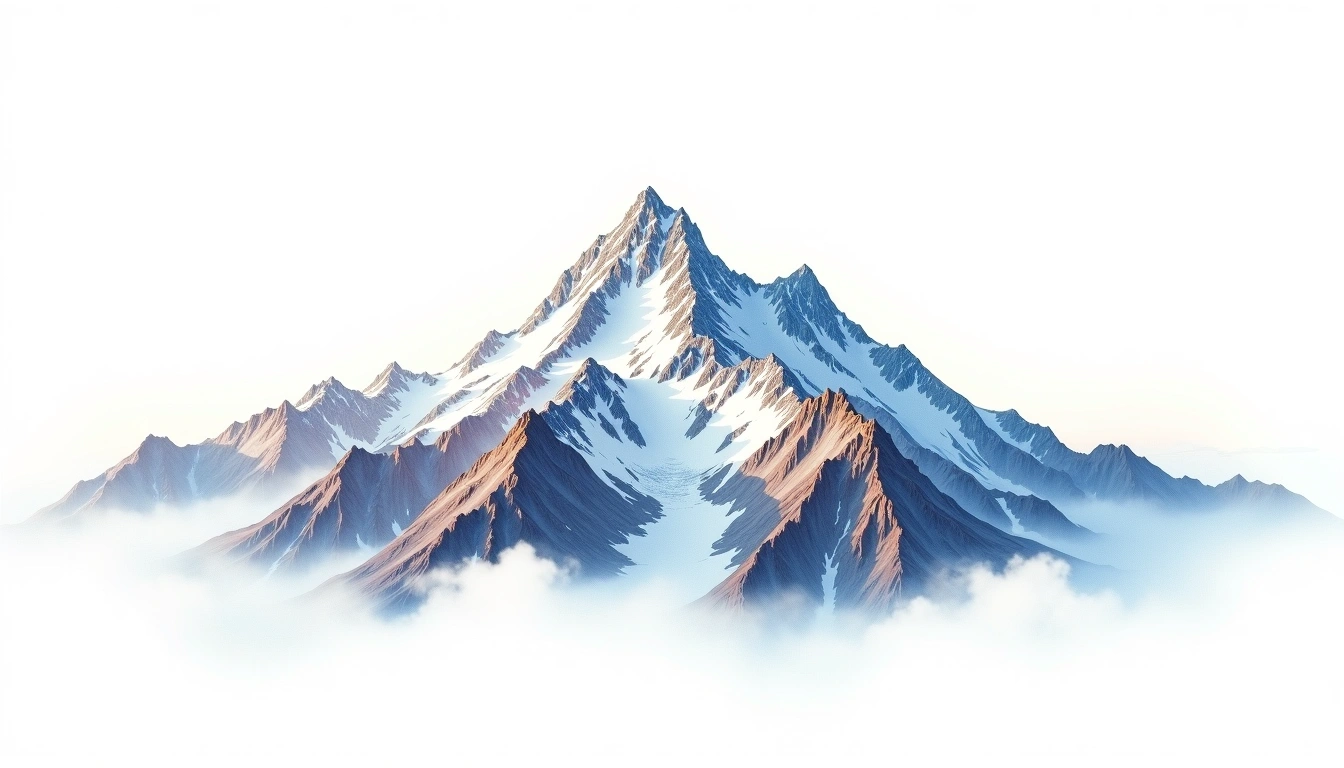
Gyachung Kang stands at 7,952 metres in the Mahalangur Himalaya of Nepal, between Cho Oyu and Everest, and is frequently cited as one of the highest peaks in the world that does not surpass 8,000 metres. For all that stature it attracts little attention, overshadowed by the eight-thousanders on either side. It is a Himalayan fold mountain, first reached by climbers in 1964. The site classifies it grade 5, its most severe tier, reflecting sustained difficulty and the supplemental oxygen most parties carry at such altitude. A remote glaciated approach and modest fame leave it among the least-visited high summits of the Khumbu region.
On this page
Perbandingan Ketinggian
Tentang gunung ini
Gyachung Kang (7952m) is a fold mountain in the Himalayas, Nepal. Grade 5/5: extreme expedition where supplemental oxygen is typically required. Formed by tectonic compression, it displays layered rock strata typical of fold ranges.
Rute
Kondisi Musiman
Analisis topografi
Peta kontur
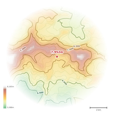
The topographic contour map of Gyachung Kang (7952m) in the Himalayas shows elongated parallel contours following the ridge axis. Contour lines are drawn at 100m intervals, with index contours (thicker lines) every 500m. The hypsometric color scale ranges from green (lower elevations) through yellow and orange to white (highest elevations near the 7,952m summit). Above 4,500m, the estimated snow line at this latitude, contours transition to cooler tones indicating permanent snow and ice.
Profil ketinggian
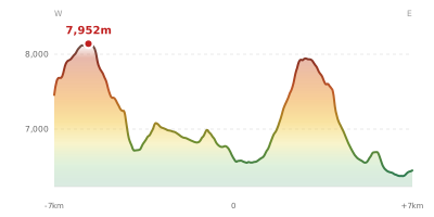
The east–west elevation profile of Gyachung Kang (7952m) in the Himalayas shows the terrain cross-section through the summit at 7,952m. The color gradient transitions from green (valley floor) to white (summit zone), with the red summit marker indicating the peak. The dashed blue snow line at 4,500m marks the approximate elevation above which permanent snow persists year-round.