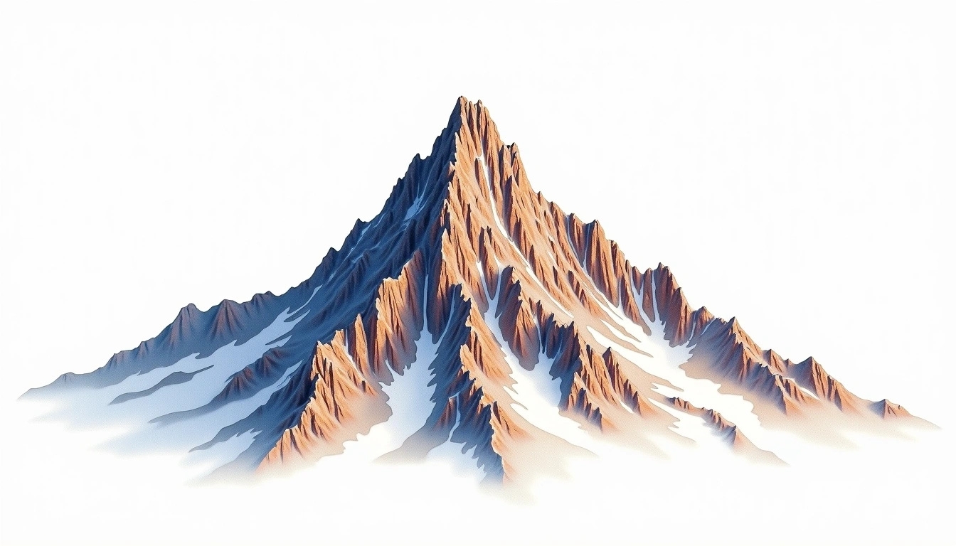
Xinantecatl South Peak (4558m)
Embed This Widget
Add the script tag and a data attribute to embed this widget.
Embed via iframe for maximum compatibility.
<iframe src="https://mountainfyi.com/iframe/entity//" width="420" height="400" frameborder="0" style="border:0;border-radius:10px;max-width:100%" loading="lazy"></iframe>Paste this URL in WordPress, Medium, or any oEmbed-compatible platform.
https://mountainfyi.com/entity//Add a dynamic SVG badge to your README or docs.
[](https://mountainfyi.com/entity//)Use the native HTML custom element.
Xinantecatl South Peak culmine à 4558 mètres en Mexico, faisant partie de Sierra Madre, North America. Ce sommet est classé comme volcanic.
Comparaison des altitudes
À propos de cette montagne
Xinantecatl South Peak (4558m) is a volcanic peak in the Sierra Madre, Mexico. Grade 3/5: strenuous climb with technical sections. A prominent Mexican stratovolcano visible from major cities, with a classic cone and seasonal climbing conditions.
Itinéraires
Conditions saisonnières
Analyse topographique
Carte de contour

The topographic contour map of Xinantecatl South Peak (4558m) in the Sierra Madre shows contours reflecting the unique geological character of the terrain. Contour lines are drawn at 100m intervals, with index contours (thicker lines) every 500m. The hypsometric color scale ranges from green (lower elevations) through yellow and orange to white (highest elevations near the 4,558m summit).
Profil d'altitude

The east–west elevation profile of Xinantecatl South Peak (4558m) in the Sierra Madre shows the terrain cross-section through the summit at 4,558m. The color gradient transitions from green (valley floor) to white (summit zone), with the red summit marker indicating the peak.