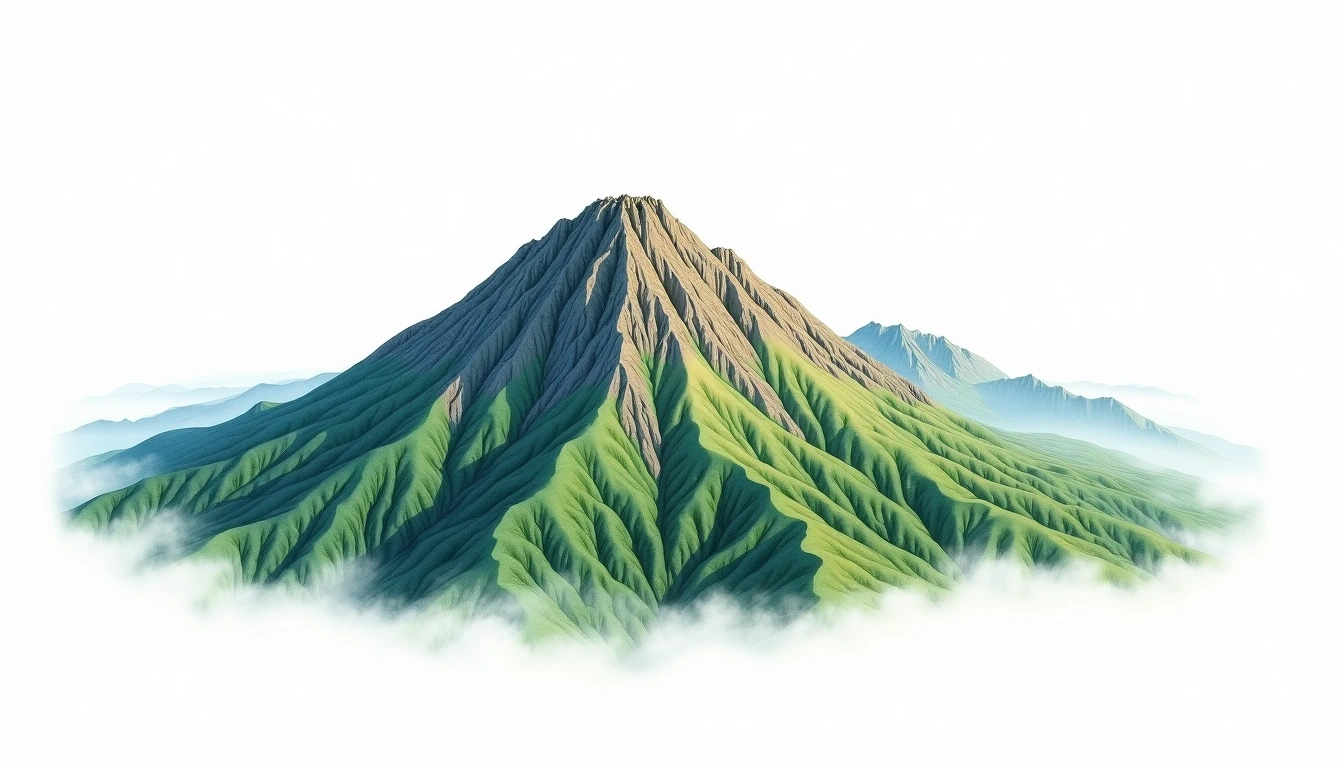
Tsurugi-dake (2999m)
Embed This Widget
Add the script tag and a data attribute to embed this widget.
Embed via iframe for maximum compatibility.
<iframe src="https://mountainfyi.com/iframe/entity//" width="420" height="400" frameborder="0" style="border:0;border-radius:10px;max-width:100%" loading="lazy"></iframe>Paste this URL in WordPress, Medium, or any oEmbed-compatible platform.
https://mountainfyi.com/entity//Add a dynamic SVG badge to your README or docs.
[](https://mountainfyi.com/entity//)Use the native HTML custom element.
Tsurugi-dake culmine à 2999 mètres en Japan, faisant partie de Japanese Alps, Asia. Ce sommet est classé comme Fold Mountain.
Comparaison des altitudes
À propos de cette montagne
Tsurugi-dake (2999m) is a fold mountain in the Japanese Alps, Japan. Grade 3/5: strenuous climb with technical sections demanding experience. Formed by tectonic compression, it displays layered rock strata typical of fold ranges.
Itinéraires
Conditions saisonnières
Analyse topographique
Carte de contour

The topographic contour map of Tsurugi-dake (2999m) in the Japanese Alps shows elongated parallel contours following the ridge axis. Contour lines are drawn at 50m intervals, with index contours (thicker lines) every 250m. The hypsometric color scale ranges from green (lower elevations) through yellow and orange to white (highest elevations near the 2,999m summit).
Profil d'altitude

The east–west elevation profile of Tsurugi-dake (2999m) in the Japanese Alps shows the terrain cross-section through the summit at 2,999m. The color gradient transitions from green (valley floor) to white (summit zone), with the red summit marker indicating the peak.