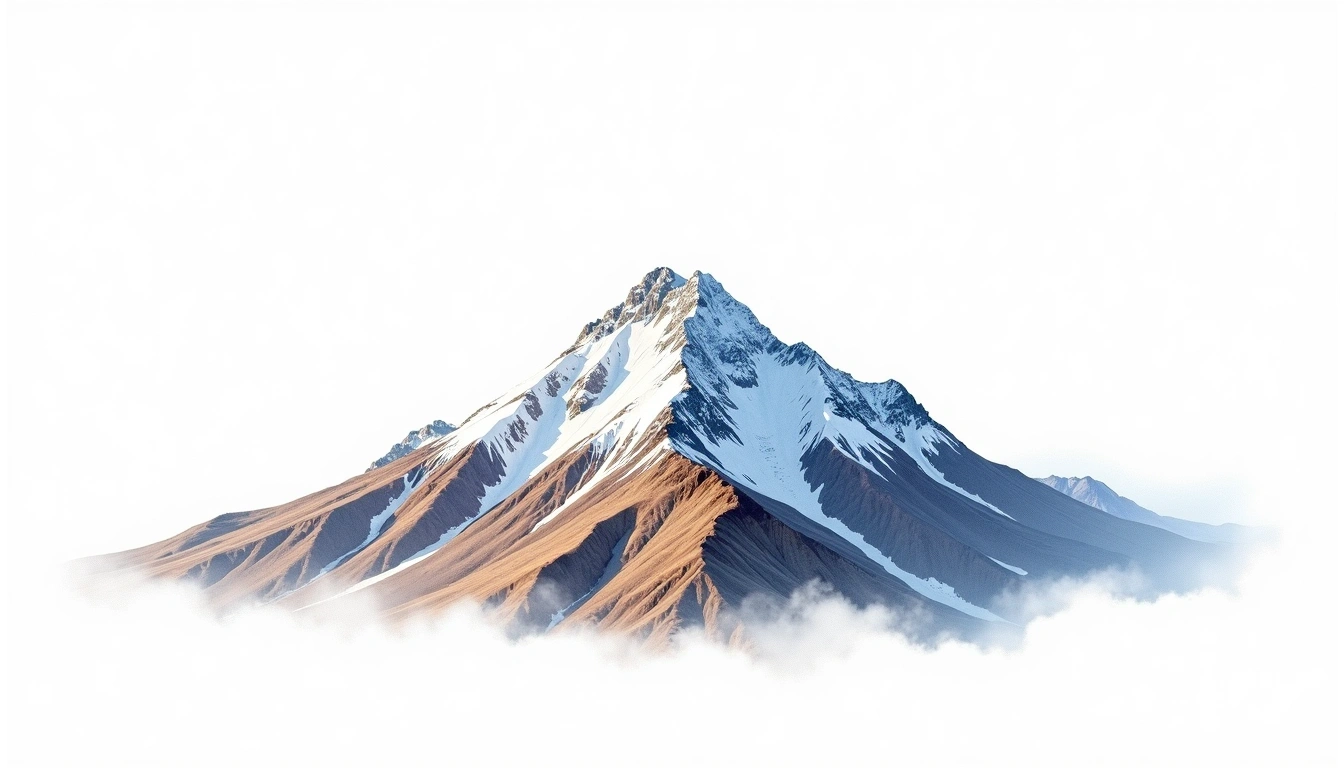
Quitaraju (6036m)
Embed This Widget
Add the script tag and a data attribute to embed this widget.
Embed via iframe for maximum compatibility.
<iframe src="https://mountainfyi.com/iframe/entity//" width="420" height="400" frameborder="0" style="border:0;border-radius:10px;max-width:100%" loading="lazy"></iframe>Paste this URL in WordPress, Medium, or any oEmbed-compatible platform.
https://mountainfyi.com/entity//Add a dynamic SVG badge to your README or docs.
[](https://mountainfyi.com/entity//)Use the native HTML custom element.
Quitaraju culmine à 6036 mètres en Peru, faisant partie de Cordillera Blanca, South America. Ce sommet est classé comme Fold Mountain.
Comparaison des altitudes
À propos de cette montagne
Quitaraju (6036m) is a fold mountain in the Cordillera Blanca, Peru. Grade 4/5: technical ascent requiring mountaineering skills. A high Andean summit demanding altitude acclimatization and technical glacier travel.
Itinéraires
Conditions saisonnières
Analyse topographique
Carte de contour

The topographic contour map of Quitaraju (6036m) in the Cordillera Blanca shows elongated parallel contours following the ridge axis. Contour lines are drawn at 100m intervals, with index contours (thicker lines) every 500m. The hypsometric color scale ranges from green (lower elevations) through yellow and orange to white (highest elevations near the 6,036m summit). Above 5,000m, the estimated snow line at this latitude, contours transition to cooler tones indicating permanent snow and ice.
Profil d'altitude

The east–west elevation profile of Quitaraju (6036m) in the Cordillera Blanca shows the terrain cross-section through the summit at 6,036m. The color gradient transitions from green (valley floor) to white (summit zone), with the red summit marker indicating the peak. The dashed blue snow line at 5,000m marks the approximate elevation above which permanent snow persists year-round.