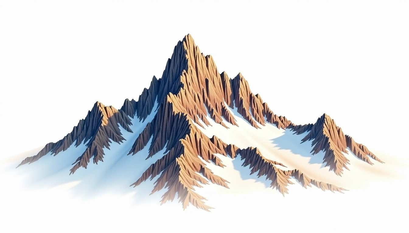
Nevado de Santa Isabel (4965m)
Embed This Widget
Add the script tag and a data attribute to embed this widget.
Embed via iframe for maximum compatibility.
<iframe src="https://mountainfyi.com/iframe/entity//" width="420" height="400" frameborder="0" style="border:0;border-radius:10px;max-width:100%" loading="lazy"></iframe>Paste this URL in WordPress, Medium, or any oEmbed-compatible platform.
https://mountainfyi.com/entity//Add a dynamic SVG badge to your README or docs.
[](https://mountainfyi.com/entity//)Use the native HTML custom element.
Nevado de Santa Isabel culmine à 4965 mètres en Colombia, faisant partie de Andes, South America. Ce sommet est classé comme volcanic.
Comparaison des altitudes
À propos de cette montagne
Nevado de Santa Isabel (4965m) is a volcanic peak in the Andes, Colombia. Grade 2/5: moderate trek requiring good fitness. A prominent Andean volcano rising above surrounding altiplano, drawing climbers from around the world.
Itinéraires
Conditions saisonnières
Analyse topographique
Carte de contour

The topographic contour map of Nevado de Santa Isabel (4965m) in the Andes shows contours reflecting the unique geological character of the terrain. Contour lines are drawn at 100m intervals, with index contours (thicker lines) every 500m. The hypsometric color scale ranges from green (lower elevations) through yellow and orange to white (highest elevations near the 4,965m summit).
Profil d'altitude

The east–west elevation profile of Nevado de Santa Isabel (4965m) in the Andes shows the terrain cross-section through the summit at 4,965m. The color gradient transitions from green (valley floor) to white (summit zone), with the red summit marker indicating the peak.