Galdhopiggen 1-Day Spiterstulen Hike
Embed This Widget
Add the script tag and a data attribute to embed this widget.
Embed via iframe for maximum compatibility.
<iframe src="https://mountainfyi.com/iframe/entity//" width="420" height="400" frameborder="0" style="border:0;border-radius:10px;max-width:100%" loading="lazy"></iframe>Paste this URL in WordPress, Medium, or any oEmbed-compatible platform.
https://mountainfyi.com/entity//Add a dynamic SVG badge to your README or docs.
[](https://mountainfyi.com/entity//)Use the native HTML custom element.
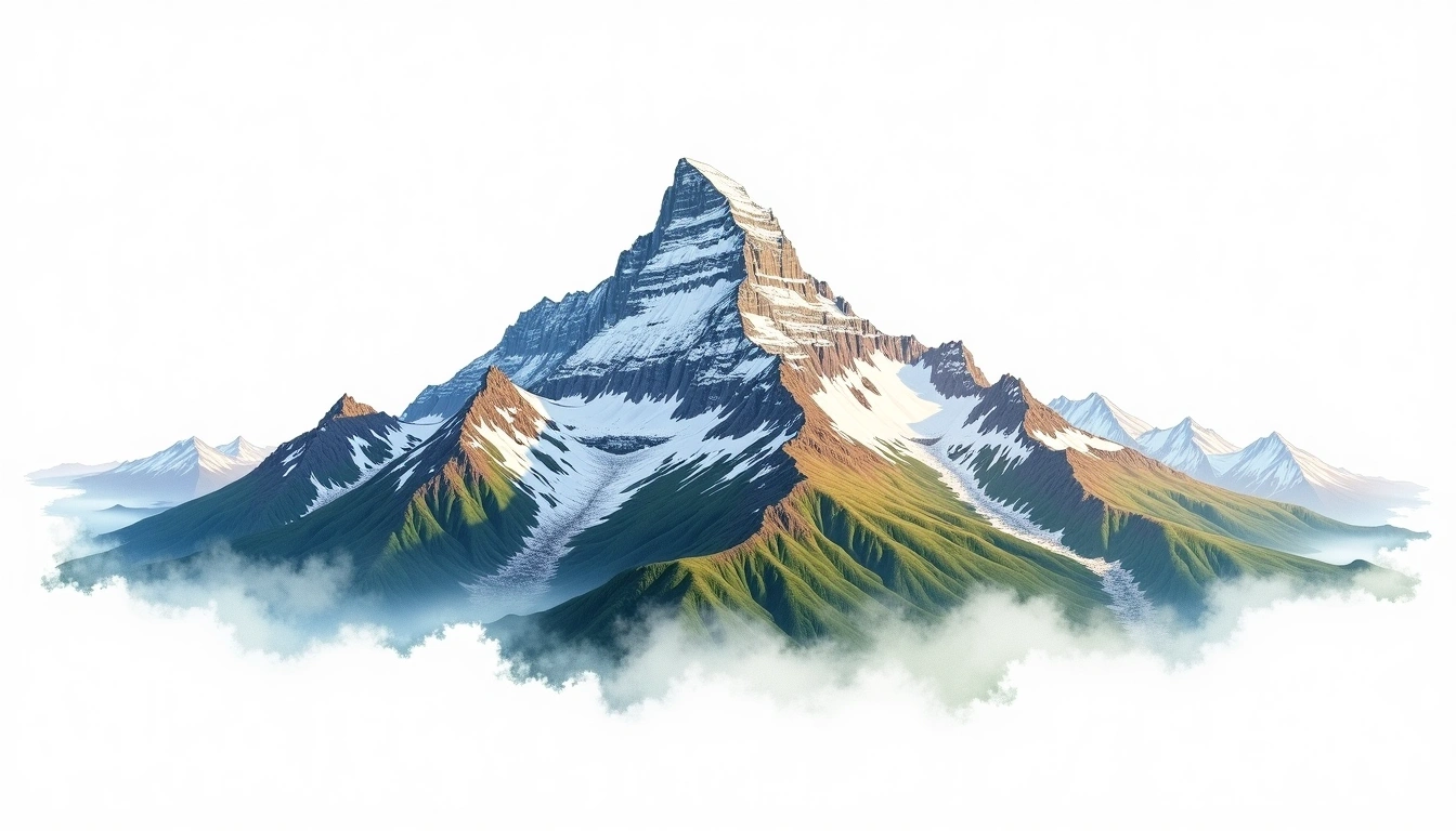
Galdhopiggen (2469m) — Spiterstulen Route (Galdhopiggen)
Aperçu du terrain
Voir la montagne →
A single-day round-trip hike to the summit of Galdhopiggen (2,469m), the highest mountain in Norway and all of Scandinavia. Starting from the Spiterstulen mountain lodge at 1,100m, the well-marked trail crosses alpine plateaus and a permanent snowfield before reaching the broad, rocky summit. The Spiterstulen route is the shortest and most direct ascent, manageable for fit hikers without technical gear in summer conditions. A small fee is charged at the Spiterstulen lodge for parking and facilities.
Itinéraire jour par jour
Jour 1 — Day 1: Spiterstulen to Galdhopiggen Summit and Return
Leave Spiterstulen lodge and follow cairns across open alpine tundra and a permanent snowfield to the broad rocky summit plateau. Return by the same route, with the Jotunheimen massif visible …
Galdhopiggen 1-Day Spiterstulen Hike
A rewarding one-day round-trip hike to Scandinavia's highest point from the Spiterstulen lodge, suitable for fit hikers in summer.
Overview
A single-day round-trip hike to the summit of Galdhopiggen (2,469m), the highest mountain in Norway and all of Scandinavia. Starting from the Spiterstulen mountain lodge at 1,100m, the well-marked trail crosses alpine plateaus and a permanent snowfield before reaching the broad, rocky summit. The Spiterstulen route is the shortest and most direct ascent, manageable for fit hikers without technical gear in summer conditions. A small fee is charged at the Spiterstulen lodge for parking and facilities.
Day 1: Spiterstulen to Galdhopiggen Summit and Return
Leave Spiterstulen lodge and follow cairns across open alpine tundra and a permanent snowfield to the broad rocky summit plateau. Return by the same route, with the Jotunheimen massif visible in all directions from the top.