Rakaposhi (7788m)
5Rakaposhi se alza a 7788 metros en Pakistan, parte de Karakoram, Asia. Este pico se clasifica como Fold Mountain.
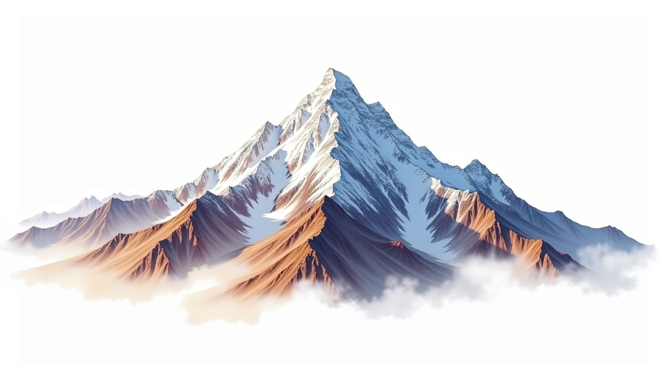
Rakaposhi commands the Hunza valley of northern Pakistan, where it climbs some 6,000 metres from the valley floor to a summit of 7,788 metres, one of the greatest continuous vertical reliefs on Earth. Part of the Rakaposhi-Haramosh Massif of the Karakoram, its name translates locally as “Shining Wall,” after the vast snow face that towers above the valley towns. It is a fold mountain of the range, first climbed in 1958. The site rates it grade 5, its most demanding classification. Famed for its beauty, it is nonetheless climbed only occasionally, its long snow-and-ice routes asking sustained effort at high altitude.
On this page
Comparación de altitudes
Sobre esta montaña
Rakaposhi (7788m) is a fold mountain in the Karakoram, Pakistan. Grade 5/5: extreme expedition where supplemental oxygen is typically required. Formed by tectonic compression, it displays layered rock strata typical of fold ranges.
Rutas
Condiciones estacionales
Análisis topográfico
Mapa de contorno
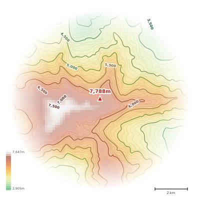
The topographic contour map of Rakaposhi (7788m) in the Karakoram shows elongated parallel contours following the ridge axis. Contour lines are drawn at 100m intervals, with index contours (thicker lines) every 500m. The hypsometric color scale ranges from green (lower elevations) through yellow and orange to white (highest elevations near the 7,788m summit). Above 3,800m, the estimated snow line at this latitude, contours transition to cooler tones indicating permanent snow and ice.
Perfil de elevación
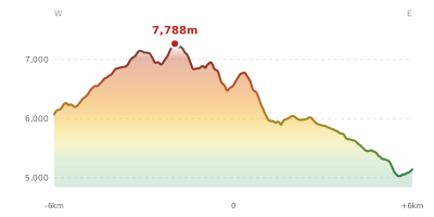
The east–west elevation profile of Rakaposhi (7788m) in the Karakoram shows the terrain cross-section through the summit at 7,788m. The color gradient transitions from green (valley floor) to white (summit zone), with the red summit marker indicating the peak. The dashed blue snow line at 3,800m marks the approximate elevation above which permanent snow persists year-round.