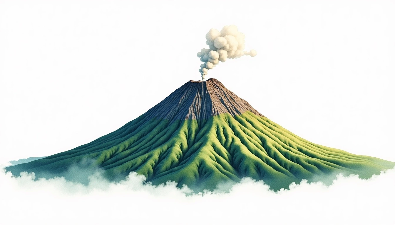
Asama-yama (2568m)
Embed This Widget
Add the script tag and a data attribute to embed this widget.
Embed via iframe for maximum compatibility.
<iframe src="https://mountainfyi.com/iframe/entity//" width="420" height="400" frameborder="0" style="border:0;border-radius:10px;max-width:100%" loading="lazy"></iframe>Paste this URL in WordPress, Medium, or any oEmbed-compatible platform.
https://mountainfyi.com/entity//Add a dynamic SVG badge to your README or docs.
[](https://mountainfyi.com/entity//)Use the native HTML custom element.
Asama-yama se alza a 2568 metros en Japan, Asia. Este pico se clasifica como Stratovolcano.
Comparación de altitudes
Sobre esta montaña
Asama-yama (2568m) is a stratovolcano in Japan, Japan. Grade 2/5: moderate trek requiring good physical fitness. This stratovolcano rises steeply from the surrounding terrain with a classic conical profile. Well-marked paths and reasonable gradients make it achievable for fit hikers.
Rutas
Condiciones estacionales
Análisis topográfico
Mapa de contorno

The topographic contour map of Asama-yama (2568m) shows near-circular, closely spaced contours indicating steep conical slopes. Contour lines are drawn at 50m intervals, with index contours (thicker lines) every 250m. The hypsometric color scale ranges from green (lower elevations) through yellow and orange to white (highest elevations near the 2,568m summit).
Perfil de elevación

The east–west elevation profile of Asama-yama (2568m) shows the terrain cross-section through the summit at 2,568m. The color gradient transitions from green (valley floor) to white (summit zone), with the red summit marker indicating the peak.