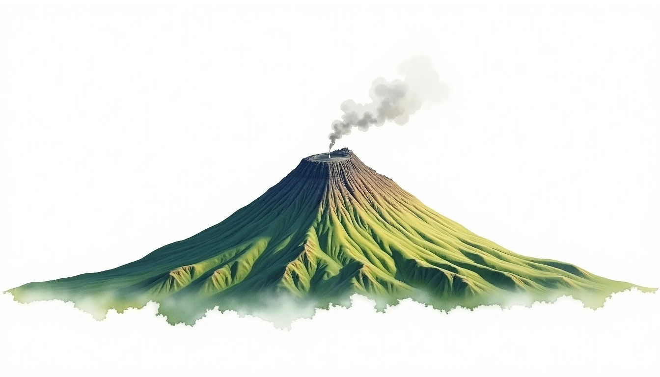
Pico de Teide (3718m)
Embed This Widget
Add the script tag and a data attribute to embed this widget.
Embed via iframe for maximum compatibility.
<iframe src="https://mountainfyi.com/iframe/entity//" width="420" height="400" frameborder="0" style="border:0;border-radius:10px;max-width:100%" loading="lazy"></iframe>Paste this URL in WordPress, Medium, or any oEmbed-compatible platform.
https://mountainfyi.com/entity//Add a dynamic SVG badge to your README or docs.
[](https://mountainfyi.com/entity//)Use the native HTML custom element.
Pico de Teide liegt auf 3718 Metern Höhe in Spain, Europe. Dieser Gipfel wird als Stratovolcano klassifiziert.
Höhenvergleich
Über diesen Berg
Pico de Teide (3718m) is a stratovolcano in Spain, Spain. Grade 1/5: accessible hike with popular trails suitable for beginners. This stratovolcano rises steeply from the surrounding terrain with a classic conical profile. Clear trails and gentle slopes attract hikers of all experience levels.
Routen
Saisonale Bedingungen
Topografische Analyse
Höhenlinienkarte

The topographic contour map of Pico de Teide (3718m) shows near-circular, closely spaced contours indicating steep conical slopes. Contour lines are drawn at 100m intervals, with index contours (thicker lines) every 500m. The hypsometric color scale ranges from green (lower elevations) through yellow and orange to white (highest elevations near the 3,718m summit).
Höhenprofil

The east–west elevation profile of Pico de Teide (3718m) shows the terrain cross-section through the summit at 3,718m. The color gradient transitions from green (valley floor) to white (summit zone), with the red summit marker indicating the peak.