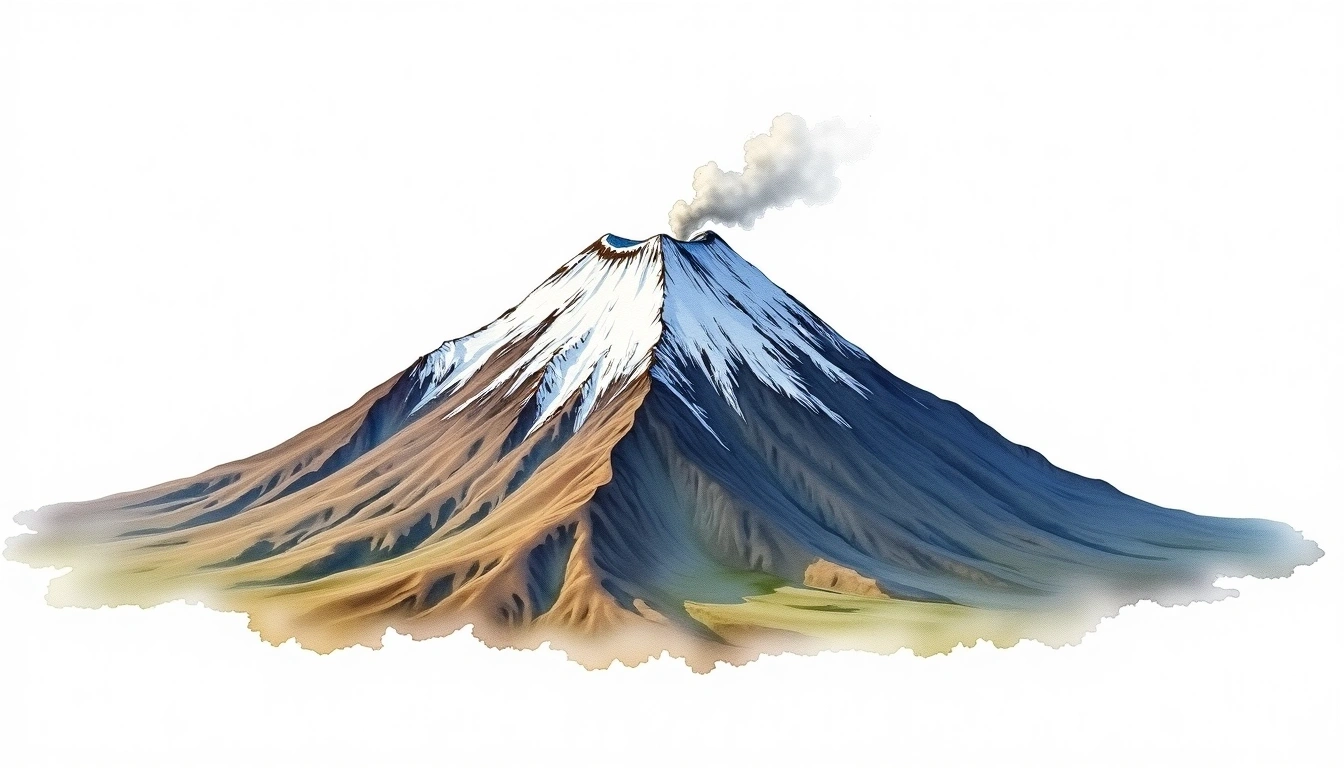
Katla (1512m)
Embed This Widget
Add the script tag and a data attribute to embed this widget.
Embed via iframe for maximum compatibility.
<iframe src="https://mountainfyi.com/iframe/entity//" width="420" height="400" frameborder="0" style="border:0;border-radius:10px;max-width:100%" loading="lazy"></iframe>Paste this URL in WordPress, Medium, or any oEmbed-compatible platform.
https://mountainfyi.com/entity//Add a dynamic SVG badge to your README or docs.
[](https://mountainfyi.com/entity//)Use the native HTML custom element.
Katla liegt auf 1512 Metern Höhe in Iceland, Europe. Dieser Gipfel wird als Stratovolcano klassifiziert.
Höhenvergleich
Über diesen Berg
Katla (1512m) is a stratovolcano in Iceland, Iceland. Grade 3/5: strenuous climb with technical sections demanding experience. This stratovolcano rises steeply from the surrounding terrain with a classic conical profile. Routes involve exposed ridge sections and require careful route-finding.
Routen
Saisonale Bedingungen
Topografische Analyse
Höhenlinienkarte

The topographic contour map of Katla (1512m) shows near-circular, closely spaced contours indicating steep conical slopes. Contour lines are drawn at 50m intervals, with index contours (thicker lines) every 250m. The hypsometric color scale ranges from green (lower elevations) through yellow and orange to white (highest elevations near the 1,512m summit). Above 1,500m, the estimated snow line at this latitude, contours transition to cooler tones indicating permanent snow and ice.
Höhenprofil

The east–west elevation profile of Katla (1512m) shows the terrain cross-section through the summit at 1,512m. The color gradient transitions from green (valley floor) to white (summit zone), with the red summit marker indicating the peak. The dashed blue snow line at 1,500m marks the approximate elevation above which permanent snow persists year-round.