Mount Wilhelm 3-Day Summit Trek
Embed This Widget
Add the script tag and a data attribute to embed this widget.
Embed via iframe for maximum compatibility.
<iframe src="https://mountainfyi.com/iframe/entity//" width="420" height="400" frameborder="0" style="border:0;border-radius:10px;max-width:100%" loading="lazy"></iframe>Paste this URL in WordPress, Medium, or any oEmbed-compatible platform.
https://mountainfyi.com/entity//Add a dynamic SVG badge to your README or docs.
[](https://mountainfyi.com/entity//)Use the native HTML custom element.
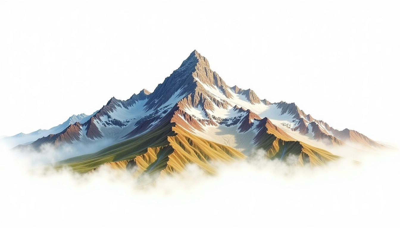
Geländeübersicht
Berg anzeigen →
Mount Wilhelm (4,509m) is the highest peak in Papua New Guinea and the highest point in Oceania if the Australian continent is excluded. On a clear summit day, both the Bismarck Sea to the north and the Coral Sea to the south are visible — making it one of the world's most rewarding high-altitude viewpoints relative to effort. The standard 3-day route ascends from Keglsugl village (2,780m) through montane forest, alpine grassland, and glacially sculpted boulder country to Pindaunde Lake base camp at 3,480m. The summit day gains the northwest ridge over steep grass and scree to the rocky summit. A guide from Keglsugl is essential for navigation and local knowledge; the trail is unmarked above the lake.
Tagesplan
Tag 1 — Day 1: Keglsugl to Pindaunde Lake Base Camp
Begin in Keglsugl village and hike through montane forest of southern beech and pandanus. The trail gains steadily to the high-altitude Pindaunde Lakes, a series of glacially carved tarns surrounded …
Tag 2 — Day 2: Pindaunde Lake to Summit and Return to Lake Camp
2 AM departure for the summit. The northwest ridge gains steeply over tussock and then bare scree and boulders. The final 200m is a hands-and-feet scramble over the rocky summit …
Tag 3 — Day 3: Pindaunde Lake to Keglsugl
Leisurely descent through the tussock grassland and montane forest back to Keglsugl. Local guides typically share knowledge of highland PNG culture on the descent. Return transport to Kundiawa or Mount …
Mount Wilhelm 3-Day Summit Trek
Three-day ascent of Papua New Guinea's highest peak from Keglsugl — montane forest, Pindaunde Lake camp, northwest ridge, and a dual-ocean summit panorama at 4,509m.
Overview
Mount Wilhelm (4,509m) is the highest peak in Papua New Guinea and the highest point in Oceania if the Australian continent is excluded. On a clear summit day, both the Bismarck Sea to the north and the Coral Sea to the south are visible — making it one of the world's most rewarding high-altitude viewpoints relative to effort. The standard 3-day route ascends from Keglsugl village (2,780m) through montane forest, alpine grassland, and glacially sculpted boulder country to Pindaunde Lake base camp at 3,480m. The summit day gains the northwest ridge over steep grass and scree to the rocky summit. A guide from Keglsugl is essential for navigation and local knowledge; the trail is unmarked above the lake.
Day 1: Keglsugl to Pindaunde Lake Base Camp
Begin in Keglsugl village and hike through montane forest of southern beech and pandanus. The trail gains steadily to the high-altitude Pindaunde Lakes, a series of glacially carved tarns surrounded by tussock grassland and giant alpine groundsels endemic to New Guinea. A basic hut at the lake provides shelter; camping is also possible.
Day 2: Pindaunde Lake to Summit and Return to Lake Camp
2 AM departure for the summit. The northwest ridge gains steeply over tussock and then bare scree and boulders. The final 200m is a hands-and-feet scramble over the rocky summit block. On clear days, both seas are visible. Return to Pindaunde Lake for the final overnight.
Day 3: Pindaunde Lake to Keglsugl
Leisurely descent through the tussock grassland and montane forest back to Keglsugl. Local guides typically share knowledge of highland PNG culture on the descent. Return transport to Kundiawa or Mount Hagen.