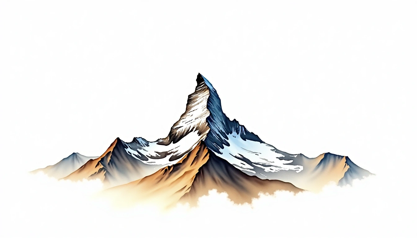
Matterhorn (4478m)
Embed This Widget
Add the script tag and a data attribute to embed this widget.
Embed via iframe for maximum compatibility.
<iframe src="https://mountainfyi.com/iframe/entity//" width="420" height="400" frameborder="0" style="border:0;border-radius:10px;max-width:100%" loading="lazy"></iframe>Paste this URL in WordPress, Medium, or any oEmbed-compatible platform.
https://mountainfyi.com/entity//Add a dynamic SVG badge to your README or docs.
[](https://mountainfyi.com/entity//)Use the native HTML custom element.
Matterhorn ตั้งอยู่ที่ความสูง 4478 เมตร ในSwitzerland, เป็นส่วนหนึ่งของAlps, Europe. ยอดเขานี้จัดอยู่ในประเภท Glacial Horn
การเปรียบเทียบความสูง
เกี่ยวกับภูเขานี้
Matterhorn (4478m) is a peak in the Alps, Switzerland. Grade 4/5: technical ascent requiring mountaineering skills and equipment. A prominent summit offering extensive views across its surrounding mountain landscape. Climbers require glacier travel and fixed-rope technique for a safe ascent.
เส้นทาง
สภาพตามฤดูกาล
การวิเคราะห์ภูมิประเทศ
แผนที่เส้นชั้นความสูง

The topographic contour map of Matterhorn (4478m) in the Alps shows sharply angular contours converging to a pyramidal peak. Contour lines are drawn at 100m intervals, with index contours (thicker lines) every 500m. The hypsometric color scale ranges from green (lower elevations) through yellow and orange to white (highest elevations near the 4,478m summit). Above 3,200m, the estimated snow line at this latitude, contours transition to cooler tones indicating permanent snow and ice.
โปรไฟล์ระดับความสูง

The east–west elevation profile of Matterhorn (4478m) in the Alps shows the terrain cross-section through the summit at 4,478m. The color gradient transitions from green (valley floor) to white (summit zone), with the red summit marker indicating the peak. The dashed blue snow line at 3,200m marks the approximate elevation above which permanent snow persists year-round.