Monte Rosa Dufourspitze — August 2022 Summit Report
Embed This Widget
Add the script tag and a data attribute to embed this widget.
Embed via iframe for maximum compatibility.
<iframe src="https://mountainfyi.com/iframe/entity//" width="420" height="400" frameborder="0" style="border:0;border-radius:10px;max-width:100%" loading="lazy"></iframe>Paste this URL in WordPress, Medium, or any oEmbed-compatible platform.
https://mountainfyi.com/entity//Add a dynamic SVG badge to your README or docs.
[](https://mountainfyi.com/entity//)Use the native HTML custom element.
Conditions
- Weather
- Summer heatwave pushed the freezing level unusually high. Stable conditions but rockfall risk increased due to melting permafrost.
- Snow
- Refreezing neve on the glacier, bare ice on the Dufour couloir. Crampon terrain.
- Temperature
- -8°C to 8°C
- Wind
- Calm, almost no wind — rare for 4,600m
Elevation Profile
View Mountain →
Monte Rosa Dufourspitze — August 2022 Summit Report
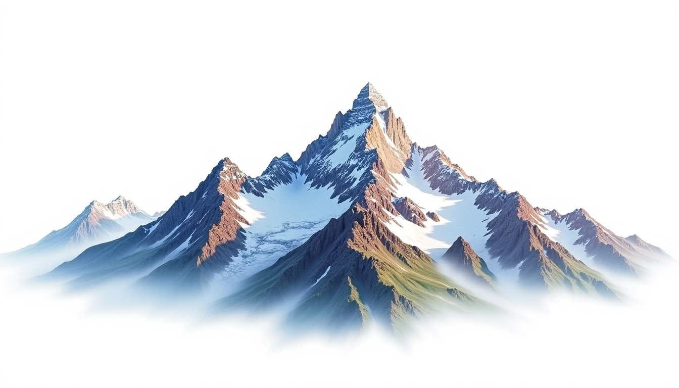
The Dufourspitze is often overshadowed by the Matterhorn and Mont Blanc, but at 4,634m it is actually higher than both when measured from the Swiss side. The Monte Rosa massif is a stunning glaciated fortress. Our summit day started at 3 AM from the Monte Rosa Hut and involved 8 hours of sustained climbing. The panoramic view from the summit spans from the Bernese Oberland to the Mediterranean.
Trip Overview
Mountain: Monte Rosa (4634m) Date: August 05, 2022 Duration: 3 days Party Size: 2 Outcome: Summit
Conditions
Weather: Summer heatwave pushed the freezing level unusually high. Stable conditions but rockfall risk increased due to melting permafrost. Snow: Refreezing neve on the glacier, bare ice on the Dufour couloir. Crampon terrain. Temperature: -8°C to 8°C Wind: Calm, almost no wind — rare for 4,600m
Difficulty Assessment
Switzerland's highest peak requires glacier travel, crevasse navigation, and a steep mixed climb to the summit. The normal route from Monte Rosa Hut involves 1,700m of ascent on summit day. Acclimatization is key — many underestimate the altitude.