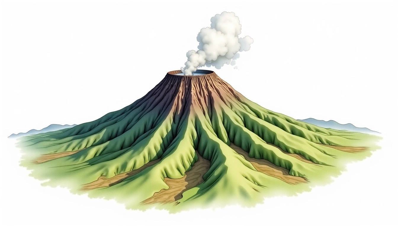
Jabel Marra (3042m)
Embed This Widget
Add the script tag and a data attribute to embed this widget.
Embed via iframe for maximum compatibility.
<iframe src="https://mountainfyi.com/iframe/entity//" width="420" height="400" frameborder="0" style="border:0;border-radius:10px;max-width:100%" loading="lazy"></iframe>Paste this URL in WordPress, Medium, or any oEmbed-compatible platform.
https://mountainfyi.com/entity//Add a dynamic SVG badge to your README or docs.
[](https://mountainfyi.com/entity//)Use the native HTML custom element.
Jabel Marra Sudan में 3042 मीटर की ऊँचाई पर स्थित है, Africa. इस चोटी को Caldera के रूप में वर्गीकृत किया गया है।
ऊंचाई तुलना
इस पर्वत के बारे में
Jabel Marra (3042m) is a peak in Sudan, Sudan. Grade 3/5: strenuous climb with technical sections demanding experience. A notable regional high point with well-established approach routes. Routes involve exposed ridge sections and require careful route-finding.
मार्ग
मौसमी परिस्थितियां
स्थलाकृतिक विश्लेषण
समोच्च मानचित्र

The topographic contour map of Jabel Marra (3042m) shows near-circular contours that open inward, revealing the collapsed crater basin. Contour lines are drawn at 50m intervals, with index contours (thicker lines) every 250m. The hypsometric color scale ranges from green (lower elevations) through yellow and orange to white (highest elevations near the 3,042m summit).
ऊँचाई प्रोफ़ाइल

The east–west elevation profile of Jabel Marra (3042m) shows the terrain cross-section through the summit at 3,042m. The color gradient transitions from green (valley floor) to white (summit zone), with the red summit marker indicating the peak.