Mount Damavand 3-Day South Route Expedition
Embed This Widget
Add the script tag and a data attribute to embed this widget.
Embed via iframe for maximum compatibility.
<iframe src="https://mountainfyi.com/iframe/entity//" width="420" height="400" frameborder="0" style="border:0;border-radius:10px;max-width:100%" loading="lazy"></iframe>Paste this URL in WordPress, Medium, or any oEmbed-compatible platform.
https://mountainfyi.com/entity//Add a dynamic SVG badge to your README or docs.
[](https://mountainfyi.com/entity//)Use the native HTML custom element.
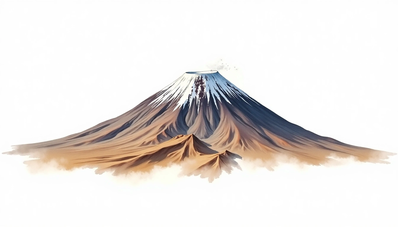
Mount Damavand (5610m) — South Route (Normal) (Mount Damavand)
Terrain Overview
View Mountain →
The South Route is the most popular path to Damavand's 5,610m summit, the highest volcano in Asia and the highest peak in Iran. A 3-day schedule begins at Polour village (2,300m), with camp at the high-altitude Bargah Sevom shelter (4,200m) on day one. Day two is a long summit push through sulfurous fumaroles and volcanic scree to the crater rim. The route is non-technical but altitude is a serious challenge requiring proper acclimatization before attempting.
Day-by-Day Itinerary
Day 1 — Day 1: Polour to Bargah Sevom Camp
Drive or hike from Polour to the road-accessible lower trailhead and ascend the rocky South Face to the Bargah Sevom shelter. Hydrate well and rest the afternoon to begin acclimatizing …
Day 2 — Day 2: Bargah Sevom to Summit and Return
Start well before dawn and follow the rocky South Ridge through active fumaroles and yellow sulfur deposits to the 5,610m summit crater. Return to Bargah Sevom by early afternoon for …
Day 3 — Day 3: Bargah Sevom to Polour
A straightforward descent of the South Route back to Polour. The knee-friendly terrain is mostly stable rock and packed trail, and most trekkers reach Polour by midday.
Mount Damavand 3-Day South Route Expedition
Three-day ascent of the Middle East's highest peak via the well-trodden South Route, with overnight at the Bargah Sevom high camp at 4,200m.
Overview
The South Route is the most popular path to Damavand's 5,610m summit, the highest volcano in Asia and the highest peak in Iran. A 3-day schedule begins at Polour village (2,300m), with camp at the high-altitude Bargah Sevom shelter (4,200m) on day one. Day two is a long summit push through sulfurous fumaroles and volcanic scree to the crater rim. The route is non-technical but altitude is a serious challenge requiring proper acclimatization before attempting.
Day 1: Polour to Bargah Sevom Camp
Drive or hike from Polour to the road-accessible lower trailhead and ascend the rocky South Face to the Bargah Sevom shelter. Hydrate well and rest the afternoon to begin acclimatizing to the thin air before the summit day.
Day 2: Bargah Sevom to Summit and Return
Start well before dawn and follow the rocky South Ridge through active fumaroles and yellow sulfur deposits to the 5,610m summit crater. Return to Bargah Sevom by early afternoon for rest before the descent day.
Day 3: Bargah Sevom to Polour
A straightforward descent of the South Route back to Polour. The knee-friendly terrain is mostly stable rock and packed trail, and most trekkers reach Polour by midday.